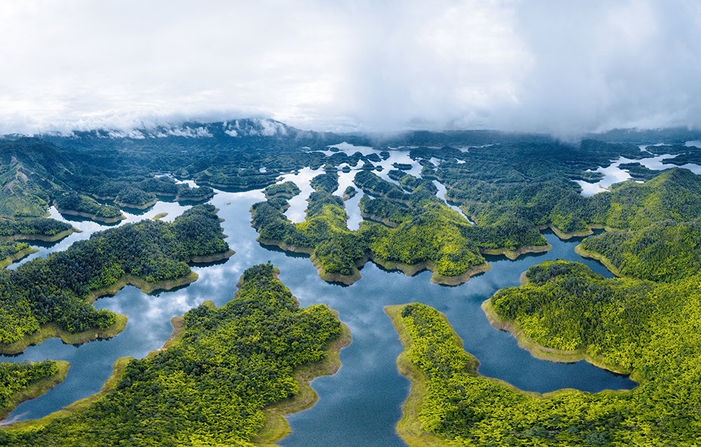
Celebrating Earth HeritageDak Nong Geopark covers 4,760 km2 of 5districts and 1town, including Krong No, Cu Jut, Dak Mil, Dak Song, Dak G’long districts and Gia Nghia town.Its history begins 140 millions years ago when an ocean was covering this area. Limestone, ammonites and various fossils are the silencious witness of this marine past. More recently, volcanoes were there. Their lava gives the b...
Celebrating Earth HeritageLocated in the northern and eastern districts of Cao Bang Province in Northeast Viet Nam, Non nuoc Cao Bang UNESCO Global Geopark covers a total area of 3,000 km2. Mountainous landforms cover approximately 90% of the land area, with elevations ranging from 1,500 to 2,000 m in the west-northwest to 200 m in the east-southeast. With a highland tropical monsoon climate and t...
Celebrating Earth HeritageDong Van Karst Plateau UNESCO Global Geopark is located in the northeastern province of Ha Giang, a mountainous province located in the far north of Viet Nam. Most of its surface is limestone (about 60%). Its landscape is spectacular and unique having high mountains and deep canyons. The highest peak is Mieu Vac Mount (1971m) while Tu San is the deepest Canyon (700-800 m ...