“Trollfjell Geopark aims to provide world-class activities and thrills based on the unique geological history and localities in the area”
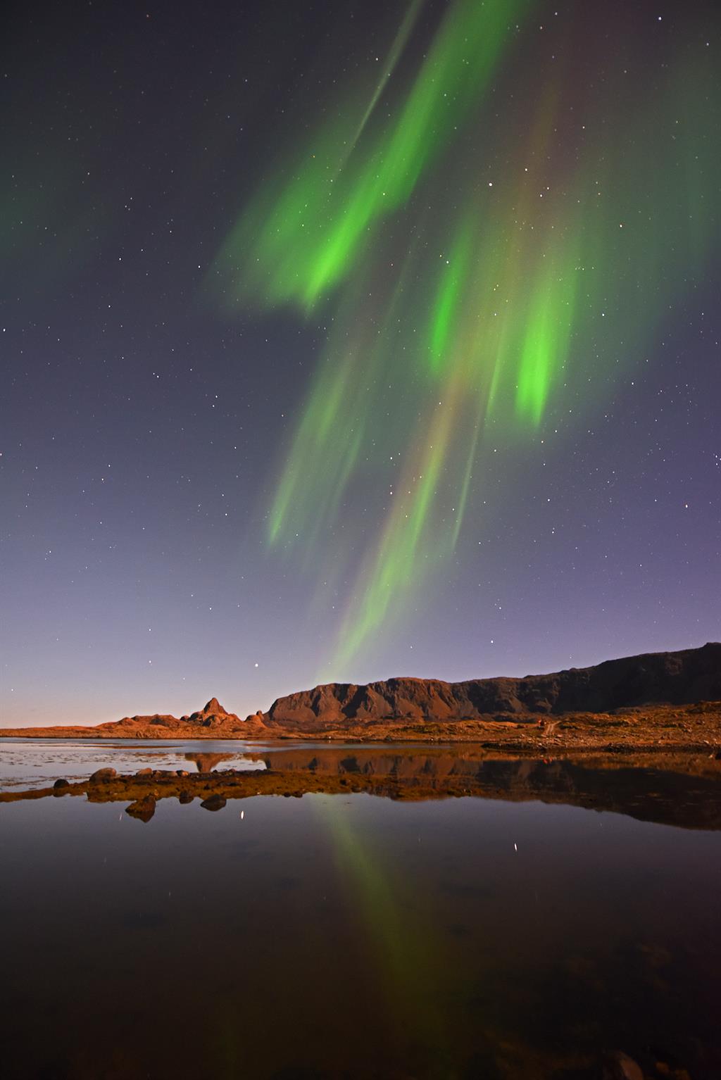
Celebrating Earth Heritage
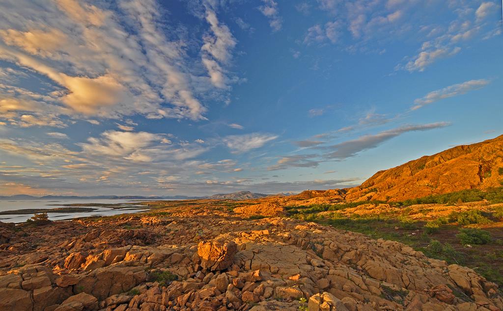
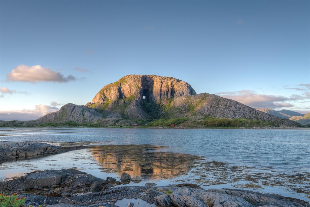
Trollfjell UNESCO Global Geopark is located on the coast in the middle of Norway. It covers 10,082 km², two-thirds of which is part of the ocean. The geology of the Trollfjell Geopark reveals a high diversity of rocks. This ancient space was formed by 500 million years of continental movements, and its bedrock is composed of rocks that were formed from the ancient Iapetus Ocean. Here the structure of the oceanic crusts and the transition of the continental setting is visible, as well as the intercontinental collision that formed the Caledonian mountain range 400 million years ago, delineating the present-day margins of the Atlantic Ocean. Before and during the Ice Ages, the modern bedrock was gradually carved away by erosion, leaving a sculptured landscape reflecting the diversity of rocks. The hardest rock types make up the taller mountains and the softer types have been carved down into nearly horizontal plateaus, known in Norway as ‘strandflats’. The area has approximately 12,000 islands and skerries.
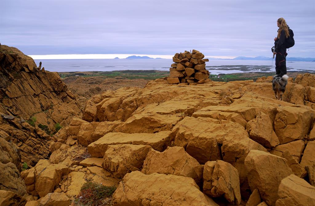
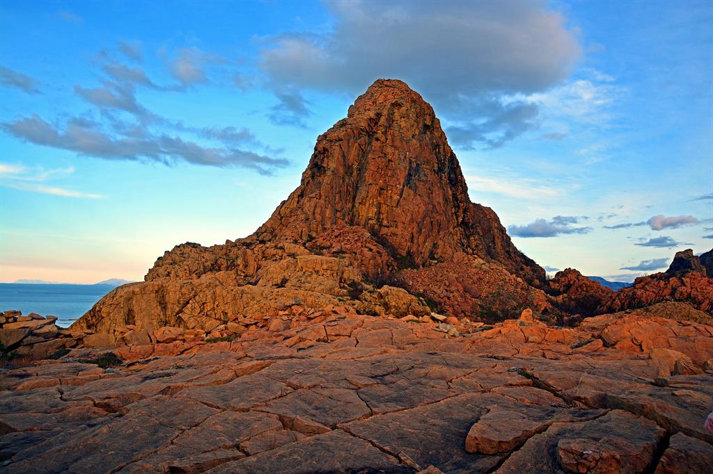
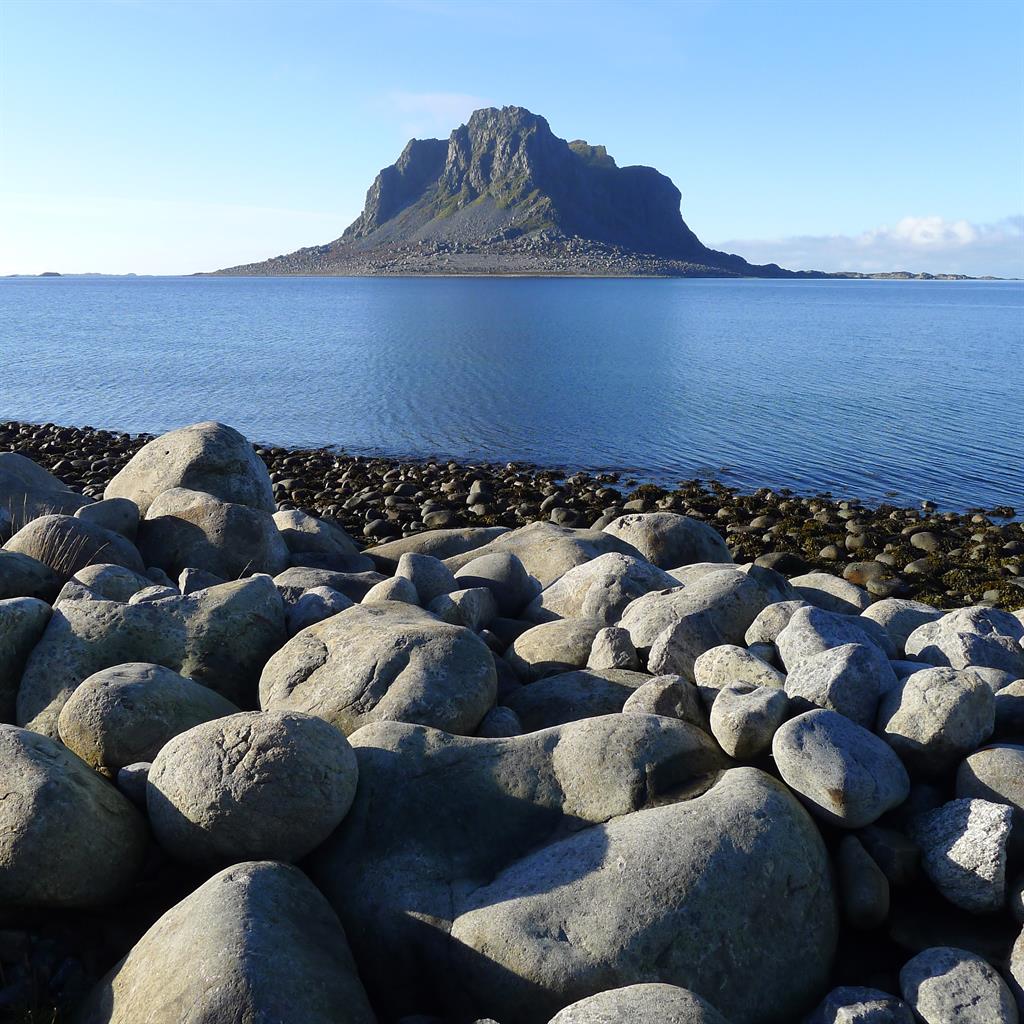
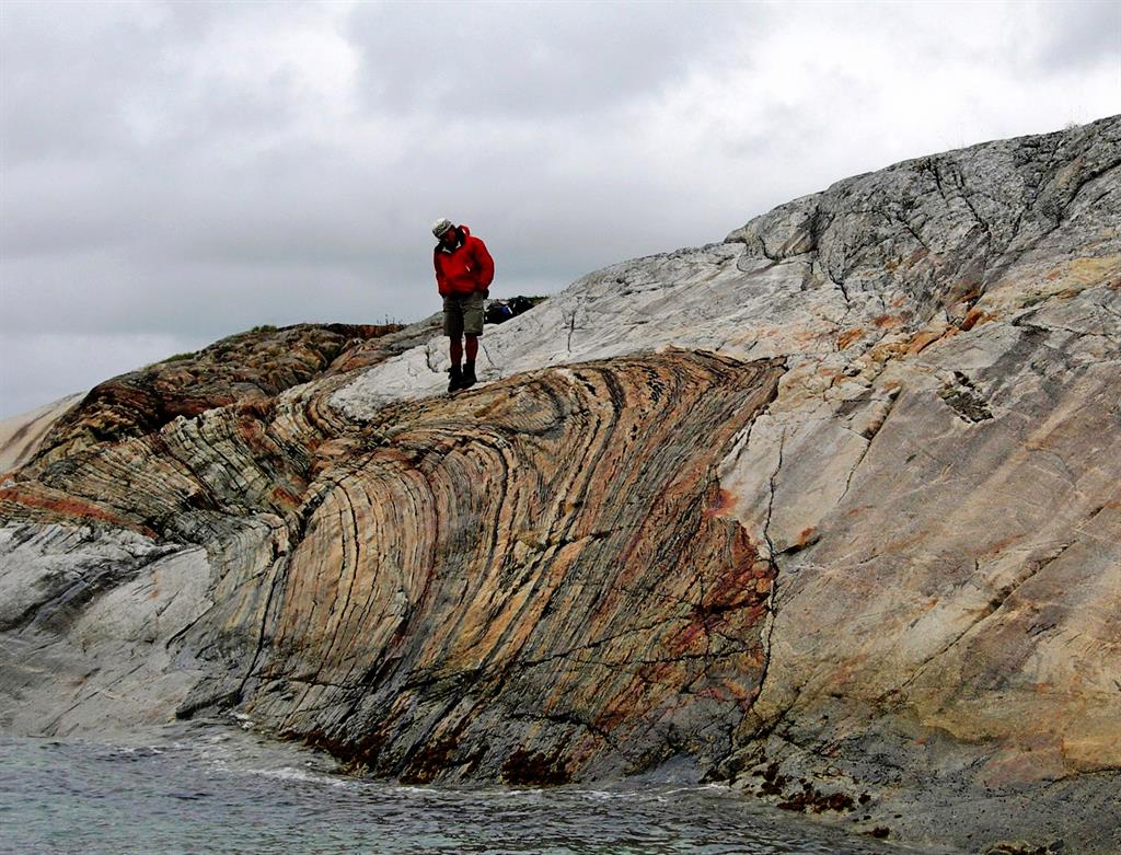
One of this Geopark’s most famous sites is the island of Leka, which is Norway’s National Geological Monument. It is made of a barren, reddish-yellow weathering rock that was uplifted from the ocean crust, revealing a deep cut through the oceanic lithosphere. Here it is possible to walk across the boundaries of the earth’s crust. This is ideal for studying the complexity of the exposed mantle, and has led to various international publications in advancing the understanding of the surpa-subduction zone ophiolites from the ancient oceanic crust.
©UNESCO/Øystein Nordgulen
Sustaining local Communities
The cultural asset of Tollfjell Geopark reaches back to the inhabitation during the stone-age, including rock-carvings and cave paintings, some of which are on display in the Solsemhula cave. There are also widespread remnants of the Vikings’ inhabitation of this area. For instance, the Herlagshaugen site is a well-preserved Viking grave-mound, now covered in grass and flowers. Many buildings in particular on the islands and skerries represent the way of life from previous generations of Norwegians. Much of the traditional-style of farms and fishermen houses were restored, in particular on the Vega archipelago, and islands of Skogsholmen and Emårsøy. Today, Trollfjell Geopark is home to just 13,175 inhabitants, and incorporates the municipalities of Brønnøy, Vega, Vevelstad, Sømna, Bindal (Nordland county) and Leka (Nord-Trøndelag county). Beyond the park’s islands and skerries are the inland alpine landscapes, some of which have limited accessibility, and other regions that can be reached on foot, bike, or kayak.
