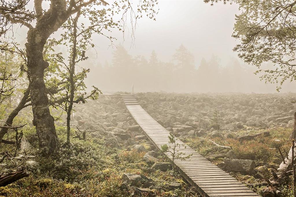
Geology of the area consists of four distinct elements: the Palaeoproterozoic granitic bedrock, the Ediacaran sandstone remnant of Lauhanvuori, the Palaeozoic to Quaternary multi-layered sediment cover and the Holocene peatlands. These elements tell the story of development of the landscape from an Alpine type mountain range 1900 million years ago to the flat, mire- covered peneplain of today. During the landscape development, the area has experienced climatic conditions from alpine to tropical, seafloor to desert, alternating glacial cover, iceless permafrost plain and glacial meltwater cover before reaching the current southern boreal conditions. The international significance of the area revolves around the Lauhanvuori inselberg. This sandstone formation originates from the last remnants of the Svecofennian mountain range, which was eroded, transported and deposited in a Precambrian sea and buried to form a hard quartz sandstone. The surrounding sedimentary cover has vanished, leaving Lauhanvuori as a rare remnant of a formerly extensive Ediacaran sandstone cover. This inselberg has effectively lowered the glacial activity in the area during the Quaternary, helping to preserve remnants of Palaeozoic and Mesozoic weathering and Pleistocene glaciogenic sediments. Lauhanvuori has the highest post-glacial shoreline in Southern Finland, the type area for land uplift studies, a post-glacial tectonic site and a showcase of groundwater-influenced peatland development
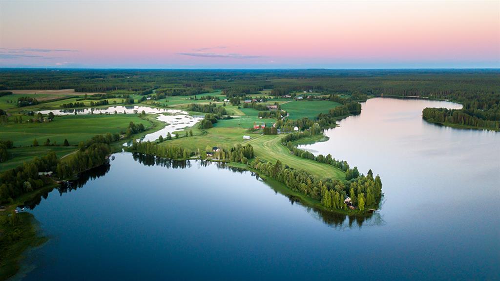
The area is located in Western Finland, in the southern part of the Suomenselkä watershed area and near the coast of the Bothnian Bay. Its surface area is 4907 km2 and it consists mostly of gently undulating plains covered with forests and mires. The elevation level spans from 26 to 230 metres above sea level. Lauhanvuori is the highest hill in the area. The climate of the area is Boreal. The relatively high areas close to the coast catch abundant rain. The lack of steep landforms leads the to situation where surface runoff is low. Combined with low evaporation, this creates good conditions for mire vegetation and formation of peatlands, which cover one-third of the area. The area has ca. 40 000 inhabitants. Population is concentrated in municipal centres and surrounding agricultural areas along rivers and lakes. The industries in the area are fairly small and serve mostly the local or regional demand. The main economic activities are services, trade, agriculture, forestry and peat extraction. Part of the area is a closed military area. Tourism in the area is undeveloped and concentrated on a few locations.
