
“An expansive lake area with fragmented and ancient bedrock reshaped during the ice age, uneven uplift and tilting shaped its shoreline, outlet channels and directions of water flow.”
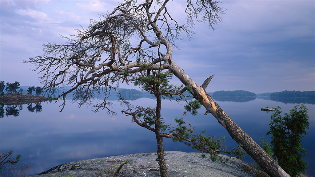
Saimaa is the largest lake in Finland and the 4th largest in Europe. Saimaa Geopark tells the geological story of Saimaa: an expansive lake area with fragmented and ancient bedrock reshaped during the ice age. Uneven uplift and tilting has shaped its shoreline, outlet channels and directions of water flow. Over the many phases of its history, the Saimaa area has developed a particular natu-ral environment, on which humans have also left a cultural-historically valuable mark over the millennia.
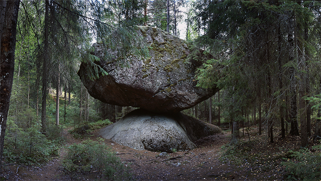
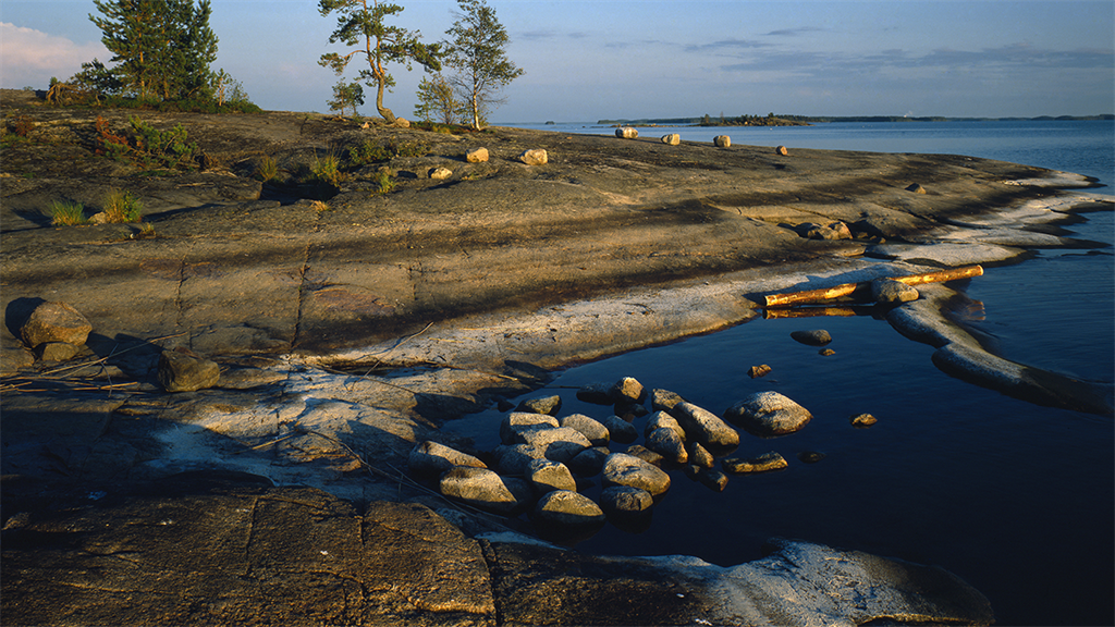
Saimaa’s rock foundation originated from an ancient seabed around 1,900 million years ago. The bedrock was shaped over time: the ancient sea receded, mountain-folding took place, and the stony masses crystallized into gneisses and granites within the depths of the mountain range. The youngest of the granite family to crystallize was rapakivi, around 1,650-1,620 million years ago. The Vyborg rapakivi massif, which extends to the southern shores of Saimaa, is considered to be the type area for rapakivi worldwide.As the rapakivi granite crystallized, the ancient mountain range had already largely levelled out. Nowadays the base of the mountain range can be seen as a mosaic landscape of various stone areas and bedrock fault zones shaped by the erosion and deposition of the continental ice sheet during the Weichselian ice age. The First and Second Salpausselkä are some of the glacier’s most visible work. They layered in front of the edge of the thawing glacier around 12,300-11,600 years ago. Saimaa inherited some endangered species of animal that became isolated in the area after the ice age, such as the Saimaa ringed seal and landlocked salmon. Impressive rock paintings on rocks on the shores of Saimaa indicate that people have enjoyed living in the area since the Stone Age.
Today, southern Saimaa is a valued area, with unspoilt nature and a thriving culture, as well as an extensive range of recreational opportunities and local services. The Saimaa Geopark consists of nine member municipalities. From an administrative standpoint, the Saimaa Geopark area is lo-cated in the provinces of South Karelia and South Savo, and is bordered in the southeast by Russia. There are three towns and cities in the area: Imatra, Lappeenranta, and Mikkeli, and six municipalities: Ruokolahti, Savitaipale, and Taipalsaari in the province of South Karelia, and Juva, Puumala and Sulkava in the province of South Savo. The beauty and uniqueness of the lake has also been noticed internationally. In 2014 the respected American newspaper, the Wall Street Journal, nominated Lake Saimaa as the fourth greatest lake around the world. The international guidebook series Lonely Planet also dedicated a chapter to the Finnish Lake District and mentioned Lake Saimaa and the River Vuoksi.
